Marajo Island National Park Picture 1

More information on Marajó Island in Belém do Pará Photo by: CasalMALY
Marajó Island in Belém do Pará
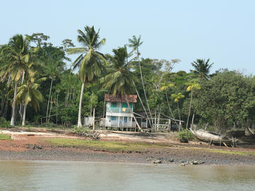
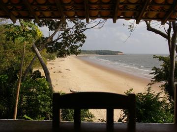
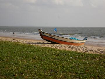
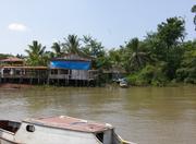
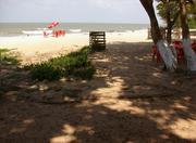
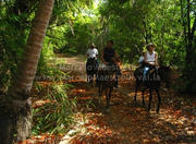
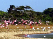
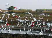
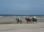
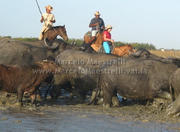
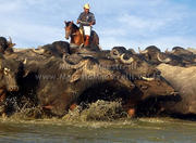
Half of the year, from December to May, during the marajoara winter, the giant Amazon floods the fields with a water depth, transforming the world's largest fluvial island in a vast archipelago, which reaches about 50,000 km ², higher than the area several European countries. At that time, wheeled vehicles become totally useless. To get around the island, the best means of transport are boats, horses and buffalo. In the other half of the year when the Amazon River recedes, is the Atlantic Ocean that invades the shore of Marajo. On the beaches, fresh water is replaced by salt water. One of the most beautiful beaches and Joanes, who is bay with cliffs in Salvaterra, and Barra Velha, and Araruna and Pesqueiro, all located in Soure. It is in marajoara summer, between June and November, that the lands dry , making it possible to observe the rich fauna of the region, with dozens of bird species, which provide stunning performances, as the flock of red flamingoes . The uneven ground and the rains almost daily, however, continue to make the horses and buffalo vehicles more suitable. So the cars are often considered Marajó as useless as umbrellas. http://www.brasilazul.com.br/ilhademarajo.asp
Marajó Island is the largest fluvial island in the world, home to the world's most famous tidal bore phenomenon and formation of giant waves at the meeting of the waters. It may have been the first point of Brazilian territory to be visited by Europeans two years before the Portuguese expedition to reach Cabrália, but if the cartographer and navigator Duarte Pacheco Pereira went even here, became unnoticed.
According to the Treaty of Tordesillas, stepped on Spanish territory. Marajó was inhabited by several Indian tribes, among them the aruãs, tribe more numerous and brave, from which they were expelled by the Caribbean. The Indians were on the island the ideal environment to live and work on his art of geometric designs, which today is distributed throughout Europe and North America.
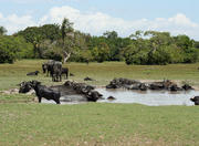
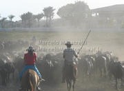
The island is also famous for its culture, dance, and Stamp and lundu marajoara, and also known as the land of the buffalo, because of the large population of buffalo, which is higher than the inhabitants.
The climate on the island is rain, lots of rain. So the best time to visit the island goes from June to January, during which it does not rain much, making the rides more easily practiced. In other months, the island is practically flooded because of the heavy rainfall.
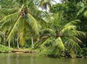
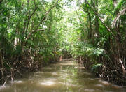
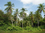
Little known, Marajo Island is one of the best preserved ecological sanctuaries in the Amazon, with the most common means of transport, weighing about half a ton, the buffalo. Its natural beauties are divided between the plain covered with dense forests and savannah. River beaches, lakes of various sizes, streams, dunes, forests and a rich fauna of Marajo make one of the largest wildlife sanctuaries. The scenarios are changed every six months, due to the large amount of rain, especially in the first half, when the woods and the fields are under water. In the second half, the dry season ends and visitation becomes more favorable for better observation of animals and vegetation. Clear beaches with dunes, virtually unexplored are the big draw.
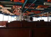
The Marajó Island is located in Pará, and is among the Amazon, Tocantins and the Atlantic Ocean. To reach the island, the ideal is to catch a plane to Bethlehem and then take a boat to the island. By car, there is a ferry that leaves daily from Bethlehem to Camara, and Camara to Soure, where it is necessary to take a ferry across the river Paracauari. http://ecoviagem.uol.com.br/brasil/para/parque-nacional/ilha-de-marajo/More Photos of Marajo Island National Park Picture 1
